Warm Start, Midweek Showers, Then a Sunny Weekend

Central New York starts the week on the warm side, with highs near the lower 80s through Wednesday before a wetter pattern brings showers and a few thunderstorms into the middle of the week. The most likely period for widespread rain arrives Monday afternoon, when showers and possibly a thunderstorm are expected after 2 p.m.
For Canastota and nearby communities, the week begins with sunshine and a high near 83 this afternoon. Clouds increase tonight, then Monday turns unsettled with an 80% chance of precipitation. Rainfall totals should stay light for many areas, generally between one-tenth and one-quarter of an inch, but thunderstorms could produce locally higher amounts.
By Friday and Saturday, the pattern shifts again. Cooler, drier air is expected to settle in, bringing mostly sunny skies Friday and full sunshine Saturday with highs in the mid-70s.
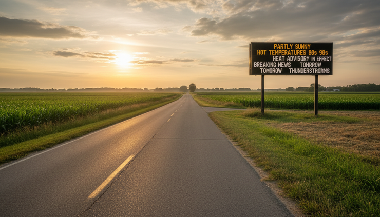
The week opens warm before clouds build tonight
The forecast begins with quiet weather this afternoon. Skies stay sunny, and temperatures climb to around 83 degrees. A west wind near 8 mph should keep the air moving, but conditions remain light enough for a calm summer feel across the region.
Tonight, clouds increase as the next system approaches. Temperatures fall to around 60 degrees, with calm wind expected. That combination of mild air, increasing moisture, and lighter wind sets the stage for a more humid and unsettled Monday.
The early change will not be dramatic overnight. Most of the weather shift becomes more noticeable Monday, especially as showers and thunderstorms become more likely by afternoon.
For residents planning outdoor work, travel, lake activities, sports practices, or errands, this afternoon is the best window for dry and sunny conditions before rain chances rise.
Monday brings the highest rain chance of the week
Monday is the main weather day in the forecast. A chance of showers and thunderstorms develops first, then showers become likely after 2 p.m. A thunderstorm is also possible during the afternoon and evening.
The high should reach near 81 degrees. Winds stay light early, then become southwest at 5 to 7 mph during the afternoon.
The chance of precipitation is 80%, which makes Monday the wettest and most unsettled day in the outlook. New rainfall amounts are expected to land between one-tenth and one-quarter of an inch for many locations. Thunderstorms could produce higher totals in spots.
That type of setup often leads to uneven rainfall. One town may see a brief downpour while another nearby location receives only light rain. Drivers should be ready for reduced visibility, wet roads, and ponding in poor drainage areas if thunderstorms pass through.
The risk does not point to an all-day washout from sunrise to sunset. The forecast suggests showers and storms become more organized later in the day, with the strongest coverage after 2 p.m. Still, the rain chance is high enough that outdoor plans Monday should have a backup.
Monday timeline
Time period | Expected conditions | What it means |
Monday morning | Chance of showers and thunderstorms | Some areas may start dry, but rain risk builds |
Monday afternoon | Showers likely, possible thunderstorm after 2 p.m. | Highest impact period for outdoor plans |
Monday evening | Chance of showers and thunderstorms before 11 p.m. | Wet roads and brief downpours remain possible |
Late Monday night | Chance of showers between 11 p.m. and 2 a.m. | Rain tapers, but low clouds and fog may linger |
The key message for Monday is simple: carry rain gear, expect interruptions, and avoid assuming dry weather will last through the afternoon.
Thunderstorms could bring localized heavier rain
While the expected rainfall totals are not large for most of Central New York, thunderstorms remain the variable part of the forecast. Any thunderstorm can produce a brief burst of heavier rain, along with lightning and gusty wind.
The forecast calls for higher rainfall amounts possible in thunderstorms. That does not mean every location will see heavy rain. It means the rain totals could vary sharply across short distances.
A passing storm may briefly reduce visibility on the Thruway, local roads, or rural routes around Madison County. Low spots and roadside ditches may fill quickly during a heavier cell, even if broader rainfall totals stay modest.
Lightning remains the chief concern with any thunderstorm. If thunder is heard, outdoor activity should pause. The safest place is inside a sturdy building or enclosed vehicle.
For Monday afternoon and evening, people with outdoor plans should watch for changing skies and listen for thunder. Storms may develop or move through quickly, and conditions can shift from cloudy to wet in a short period.
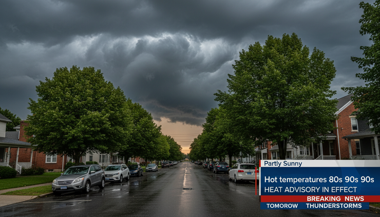
Patchy fog follows Monday night rain
Monday night remains unsettled, though rain chances decrease as the night goes on. A chance of showers and thunderstorms continues before 11 p.m., followed by a chance of showers between 11 p.m. and 2 a.m.
The chance of precipitation Monday night is 40%. New precipitation amounts should remain under one-tenth of an inch in most spots, except where thunderstorms produce higher totals.
Patchy fog becomes part of the forecast as well. Fog may form before 1 a.m., then return or continue after 2 a.m. The night stays mostly cloudy, with a low near 63. A light west wind of 3 to 5 mph is expected.
Fog may affect early travel Tuesday, especially in valleys, near fields, and in low-lying areas where moisture gathers after rain. The fog is expected before 9 a.m. Tuesday, then conditions improve.
Drivers heading out early Tuesday should be ready for quick changes in visibility. Fog can be shallow and uneven, which means one stretch of road may be clear while the next becomes hazy.
Tuesday turns mostly sunny after morning fog
Tuesday brings a noticeable improvement once early fog lifts. The forecast calls for patchy fog before 9 a.m., then mostly sunny skies. The high should reach near 80 degrees.
A west wind of 5 to 8 mph may help dry out the air through the day. After Monday’s rain and clouds, Tuesday looks like a better day for outdoor work, appointments, and midweek travel.
Tuesday night turns partly cloudy with a low around 58. That gives the region a quieter break before showers return to the forecast Wednesday afternoon.
This quieter stretch between Monday’s rain and Wednesday’s next chance of showers may be useful for mowing, gardening, field work, or other activities that need dry conditions. The ground may still be damp in spots, especially where Monday storms produce heavier rainfall, but the overall weather pattern should be more cooperative.
Wednesday brings another afternoon shower chance
Wednesday starts with a mostly sunny pattern and a high near 81. Rain chances return after 2 p.m., with a 30% chance of showers.
This is a lower chance than Monday, but still enough to watch. The timing again points to the afternoon, when daytime heating can help clouds build and trigger showers.
Wednesday evening and overnight look more unsettled. A chance of showers continues before 8 p.m. Between 8 p.m. and 2 a.m., showers and thunderstorms become possible. A chance of showers remains after 2 a.m.
The chance of precipitation Wednesday night is 50%. Skies turn mostly cloudy, and the low drops to around 58.
The main takeaway for Wednesday is that the first part of the day looks more favorable than the second half. Outdoor plans later in the day and evening may run into scattered showers or thunderstorms.
Thursday stays unsettled with showers and possible storms
Thursday continues the midweek rain pattern. A chance of showers remains in the forecast, with thunderstorms also possible after 2 p.m. Skies stay partly sunny, and the high reaches near 78.
The chance of precipitation is 50%, which keeps Thursday in the unsettled category. It does not guarantee steady rain all day, but it does support scattered showers and possible thunderstorms, especially during the afternoon.
By Thursday night, a chance of thunderstorms remains before 8 p.m. The night then turns partly cloudy, with a low around 55. The chance of precipitation falls to 30%.
Thursday may feel a little less warm than the first half of the week, with highs slipping out of the lower 80s and into the upper 70s. That change marks the beginning of the cooler, drier trend expected late week.
For planning purposes, Monday remains the highest-confidence rain day. Wednesday night and Thursday are the next periods to watch, especially for anyone with evening travel, outdoor events, or work that depends on dry weather.
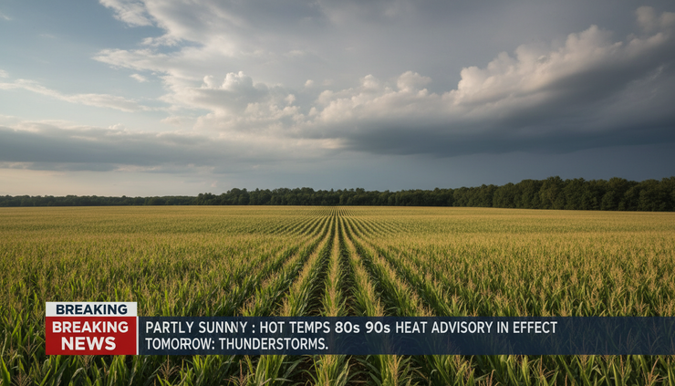
A dry and cooler finish arrives Friday and Saturday
The forecast improves by Friday. Skies turn mostly sunny, and the high reaches near 74. Friday night looks mostly clear, with a low around 52.
Saturday continues the dry trend. Sunshine returns, and the high reaches near 75.
That late-week shift will feel different from the warm and humid start. Highs in the mid-70s, clear nighttime skies, and lows in the lower 50s point to a more comfortable air mass.
For weekend plans, Saturday is currently the best day in the extended forecast. With sunshine and a high near 75, conditions look favorable for yard work, farmers markets, youth sports, hiking, fishing, and travel across Central New York.
The forecast does not show rain chances for Friday or Saturday, as of this outlook. That gives the region a clean break after several periods of showers and thunderstorms during the workweek.
Forecast at a glance for Canastota and nearby areas
Period | Forecast | High or low | Rain chance |
This afternoon | Sunny | High near 83 | Not listed |
Tonight | Increasing clouds | Low around 60 | Not listed |
Monday | Showers and possible thunderstorm after 2 p.m. | High near 81 | 80% |
Monday night | Chance of showers and storms, patchy fog | Low around 63 | 40% |
Tuesday | Patchy fog early, then mostly sunny | High near 80 | Not listed |
Tuesday night | Partly cloudy | Low around 58 | Not listed |
Wednesday | Mostly sunny, chance of showers after 2 p.m. | High near 81 | 30% |
Wednesday night | Chance of showers and thunderstorms | Low around 58 | 50% |
Thursday | Chance of showers, storms possible after 2 p.m. | High near 78 | 50% |
Thursday night | Chance of storms before 8 p.m., then partly cloudy | Low around 55 | 30% |
Friday | Mostly sunny | High near 74 | Not listed |
Friday night | Mostly clear | Low around 52 | Not listed |
Saturday | Sunny | High near 75 | Not listed |
The overall pattern shows three clear phases: a warm start, a wet middle stretch, and a drier weekend. That fits the headline pattern of Warm Start, Midweek Showers, Then a Sunny Weekend across the area.
What the forecast means for local travel
Road conditions should stay favorable this afternoon and tonight, though increasing clouds may make the evening feel less clear than the afternoon. Monday afternoon and evening bring the greatest chance for travel impacts.
Rain may briefly reduce visibility, especially during heavier showers or thunderstorms. Wet pavement can also increase stopping distance. On rural roads, water may collect near field entrances, curves, and low shoulders.
Monday night and early Tuesday add another travel concern: patchy fog. Fog can be most noticeable before sunrise and shortly after, especially in low-lying areas. Drivers should use low beams, leave extra space, and avoid sudden stops when visibility changes.
Wednesday night and Thursday may bring another round of wet roads. The rain chance is not as high as Monday during the day, but scattered showers and possible thunderstorms could still affect evening travel.
By Friday and Saturday, travel conditions should improve as skies clear and rain exits the forecast.
What it means for outdoor plans
This afternoon offers the best warm and sunny window before the week turns unsettled. Anyone looking to finish outdoor work before the next rain should use the dry conditions while they last.
Monday is the least reliable day for outdoor plans. The forecast does allow for some dry time early, but the afternoon and evening carry a high rain chance. Events after 2 p.m. should have indoor options.
Tuesday looks more favorable after early fog lifts. Wednesday also starts with promise, though showers may develop after 2 p.m. Thursday remains uncertain enough that plans should stay flexible.
By Friday and Saturday, outdoor plans look much easier. Cooler air and sunshine should make the end of the week feel more comfortable.
Best planning windows
Best dry window before rain
This afternoon through tonight, though clouds increase overnight.
Wettest period
Monday afternoon and evening.
Fog concern
Late Monday night and early Tuesday morning.
Next unsettled stretch
Wednesday afternoon through Thursday evening.
Best weekend day
Saturday, with sunny skies and a high near 75.
Temperatures stay warm before easing late week
Temperatures remain steady near or just above 80 degrees through Wednesday. This afternoon rises near 83, Monday reaches near 81, Tuesday reaches near 80, and Wednesday climbs near 81.
Thursday cools slightly with a high near 78. By Friday and Saturday, highs settle into the mid-70s.
Overnight lows also trend cooler late in the forecast. Tonight drops near 60, Monday night stays milder near 63, and Tuesday and Wednesday nights fall near 58. Thursday night dips near 55, followed by a cooler Friday night near 52.
That gradual drop in lows should make the end of the week feel more comfortable, especially compared with the milder, more humid Monday night.
The temperature pattern does not show a sharp cold front in the way winter forecasts might. Instead, it shows a summer transition from humid and unsettled to cooler and clearer.
Rainfall totals look modest, but storms can change the numbers
The most specific rainfall forecast comes Monday. New rainfall amounts between one-tenth and one-quarter of an inch are expected, except higher amounts possible in thunderstorms.
Monday night should bring less than one-tenth of an inch in most locations, again with higher amounts possible in thunderstorms.
Those totals are not especially high for a summer system, but thunderstorms can make rainfall uneven. A slow-moving storm can quickly push one neighborhood above nearby totals, while locations just a few miles away remain much drier.
Gardeners and property owners should not assume Monday’s rain will water everything evenly. Some soil may receive a helpful soaking, while other spots may only get damp.
The rest of the week includes rain chances, but the forecast does not provide specific amounts for Wednesday or Thursday. The repeated shower chances suggest damp periods are possible, though the exact totals will depend on where showers and storms form.
The pattern favors afternoon and evening activity
Several rain chances in this forecast lean toward the afternoon and evening. Monday’s most likely shower period comes after 2 p.m. Wednesday’s shower chance begins after 2 p.m. Thursday also includes thunderstorms possible after 2 p.m.
That timing is common in warm-season patterns, when daytime heating helps build clouds and instability. It does not mean mornings will always stay dry, but it does mean later-day plans face more risk.
The pattern gives residents a useful planning guide:
Morning windows may be more favorable on Wednesday and Thursday.
Afternoon plans carry greater shower or thunderstorm risk.
Evening travel may need extra time during wet periods.
Early Tuesday travel may face fog instead of rain.
The weather should not be treated as a single all-week washout. The forecast includes breaks, especially Tuesday and late week. The timing matters.
The weekend outlook is the strongest part of the forecast
After several unsettled periods, the late-week outlook becomes much simpler. Friday is mostly sunny with a high near 74. Friday night is mostly clear with a low around 52. Saturday is sunny with a high near 75.
That combination gives Central New York a calmer weekend setup. It also brings a cleaner break from the warm, humid, and stormy pattern expected earlier in the week.
Saturday’s forecast stands out because it contains no rain chance and no fog mention. Sunshine and mid-70s temperatures should make it the most comfortable day in the period.
Of course, forecasts can change as the week moves along, especially with thunderstorm timing. Still, the late-week trend points toward improving conditions, with fewer weather disruptions and a more pleasant feel.
Bottom line for the week ahead
Central New York gets a warm and sunny start this afternoon, then increasing clouds tonight signal a shift toward unsettled weather. Monday brings the highest rain chance, with showers and a possible thunderstorm after 2 p.m. Patchy fog may follow Monday night into early Tuesday.
Tuesday improves after morning fog, while Wednesday afternoon through Thursday keeps scattered showers and thunderstorms in play. The pattern breaks late in the week, with mostly sunny skies Friday and sunshine Saturday.
The main steps are straightforward: use this afternoon for dry outdoor plans, keep rain gear ready Monday, watch for fog early Tuesday, and expect a much nicer finish by the weekend.


Comments