Stormy Start, Chilly Weekend and Sunny Finish in the Forecast

A mild, unsettled stretch is opening the forecast, but Central New York will not stay warm for long. The next several days bring a little bit of everything: thunderstorms, soaking rain, a cooler midweek break, a late-week washout, and even a chance of snow showers by Saturday.
For Madison County and nearby parts of Central New York, the main theme is change. Today starts warm and stormy, with highs near 75 and a high chance of rain. By the weekend, temperatures dip sharply, winds pick up, and rain may mix with or change to snow showers for a time.
The good news is that the forecast ends on a brighter note. Sunday and Monday look calmer, sunnier, and gradually milder.

A stormy and mild start arrives today
Today is the warmest day in the forecast, but it comes with rain and thunderstorms. Highs are expected to reach near 75 degrees, which will feel mild for Central New York. That warmth also helps fuel showers and storms through the day.
Showers and thunderstorms are likely before 2 p.m. After that, more showers are expected, with a thunderstorm still possible, especially later in the day. The chance of precipitation is 90 percent, so this is not a day to count on long dry stretches.
South winds will stay fairly light, around 5 to 7 mph. That means wind is not the main concern during the day, outside of any gusts that may come with thunderstorms.
Rainfall totals are expected to stay mostly between a tenth and a quarter of an inch. Still, thunderstorms can produce locally heavier downpours. A few areas may pick up more rain than the general forecast suggests.
For daily plans, that means:
Keep rain gear close through the morning and afternoon.
Expect wet roads and reduced visibility under heavier showers.
Leave extra stopping distance during downpours.
Have a plan to move indoors if thunder is heard.
Thunderstorms do not need to be severe to be dangerous. Lightning can strike well away from the heaviest rain. If thunder is close enough to hear, it is close enough to take seriously.
Rain continues tonight before cooler air takes over
The unsettled weather continues tonight. Showers and thunderstorms are expected before 1 a.m., followed by a chance of showers after that. The overnight low should stay mild, around 59 degrees.
South winds of 5 to 7 mph will shift to the west after midnight. That wind change matters because it marks the arrival of cooler air behind the stormy setup.
Rain chances remain high tonight at 80 percent. New rainfall amounts again look mostly light to moderate, ranging from a tenth to a quarter of an inch. As with today, thunderstorms could lead to higher local totals.
The overnight timing may affect anyone driving late or heading out early Wednesday. Wet pavement may linger into the morning, and low clouds could make the start of Wednesday feel damp even after steadier rain moves away.
By Wednesday, the pattern turns less stormy, but not exactly bright. Skies are expected to stay mostly cloudy, with a high near 66 degrees. A west wind of 8 to 10 mph will make it feel cooler than today, especially in open areas.
Wednesday night brings more cloud cover and a sharper drop in temperature. Lows fall to around 42 degrees, with a west wind of 6 to 8 mph.

Thursday brings a quieter break before the next round
Thursday looks like the best break in the workweek. The forecast calls for mostly sunny skies, a high near 59 degrees, and calm wind.
That is cooler than today, but it should feel much more comfortable because the rain backs off and sunshine returns. For outdoor chores, errands, school traffic, or a walk around town, Thursday offers the cleanest window before the next system moves in.
Still, the pause does not last long. Showers return Thursday night, mainly after 2 a.m. The low will be around 44 degrees, and the chance of precipitation rises to 80 percent.
That late-night timing sets up a wet Friday. Anyone with early Friday plans should expect rain to be part of the morning. It may be worth handling outdoor tasks on Thursday while conditions are calmer.
Thursday is also a good time to get ahead of the next round of weather:
Clear storm drains or driveway edges if leaves and debris have built up.
Bring in loose outdoor items before breezier weekend conditions.
Check sump pumps or low-lying basement areas if they tend to collect water.
Plan extra time for Friday travel.
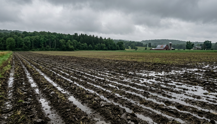
None of this points to a major storm based on the current details, but repeated periods of rain can create nuisance issues. In Central New York, that often means ponding in poor-drainage spots, muddy yards, and slow travel on rural roads.
Friday looks wet from start to finish
Friday is the wettest day in the forecast. Showers are expected, and the chance of precipitation is listed at 100 percent. Highs should reach near 62 degrees, so rainfall will be plain rain during the day.
The steady rain may make Friday feel raw, even with temperatures in the lower 60s. Clouds, wet pavement, and repeated showers often take the comfort out of an otherwise mild reading.
Friday night stays unsettled. Showers continue, with an 80 percent chance of precipitation. The bigger change comes from the temperature, which drops to around 32 degrees overnight.
That cold air sets the stage for a different kind of weather by Saturday.
Here is the general stretch at a glance:
Period | Forecast | Temperature | Rain chance |
Today | Showers and thunderstorms | High near 75 | 90% |
Tonight | Storms, then showers possible | Low around 59 | 80% |
Wednesday | Mostly cloudy | High near 66 | Not listed |
Thursday | Mostly sunny | High near 59 | Not listed |
Thursday night | Showers mainly after 2 a.m. | Low around 44 | 80% |
Friday | Showers | High near 62 | 100% |
Friday night | Showers | Low around 32 | 80% |
Saturday | Rain and snow showers possible | High near 45 | 30% |
Sunday | Mostly sunny | High near 54 | Not listed |
Monday | Mostly sunny | High near 63 | Not listed |
The change from a 75-degree high today to a low around freezing Friday night is the clearest signal in this forecast. The atmosphere is shifting from a mild, springlike pattern to a chillier weekend setup.
Saturday feels like a step back toward late winter
Saturday will likely feel much different from the start of the forecast. A chance of rain and snow showers is expected before 11 a.m. From 11 a.m. to 2 p.m., the forecast calls for a chance of snow showers.
The high will be near 45 degrees, and conditions will be breezy. The precipitation chance is lower than earlier in the week, at 30 percent, but the colder air will be noticeable.
For Central New York, this kind of spring swing is familiar. A warm, stormy day can be followed by a chilly weekend once west or northwest flow pulls cooler air back across the region. Snow showers in this pattern are often scattered and uneven. One town may see flakes while another stays mostly dry.
That said, Saturday could still bring brief slick spots in colder or higher-elevation areas, especially early in the day. Roads may stay mainly wet where pavement temperatures hold above freezing, but bridges, shaded roads, and untreated surfaces can cool faster.
Saturday night turns partly cloudy, with a low around 30 degrees. That is cold enough for frost or a freeze in many spots. Any early gardening plans should account for it. Tender plants, if already outside, may need protection or a move indoors.
The weekend chill also brings a clothing reminder. The light jacket that works on Friday afternoon may not feel like enough by Saturday morning, especially with a breeze.
Sunday and Monday bring a calmer finish
The forecast improves by Sunday. Skies turn mostly sunny, and the high climbs to near 54 degrees. That is still cool, but it is a clear improvement after Saturday’s chilly, breezy setup.
Sunday night looks mostly clear, with a low around 35 degrees. It will remain cold after sunset, but the clearer sky points to a more settled pattern.
Monday continues the better trend. The forecast calls for mostly sunny skies and a high near 63 degrees. That is a pleasant finish after several days of rain, storms, and weekend chill.
The late-week and weekend pattern may feel messy, but the overall arc is straightforward:
Warm and stormy today
Cloudier and cooler Wednesday
Brief sunshine Thursday
Wet again Friday
Chilly with rain or snow showers Saturday
Drier and brighter Sunday into Monday
The best outdoor windows appear to be Thursday during the day, Sunday, and Monday. The wettest periods are today, tonight, Thursday night, and Friday.

What to watch as the forecast changes
This forecast has several moving parts, so small timing changes can matter. The biggest items to watch are thunderstorm timing today, rainfall coverage Friday, and how much cold air arrives by Saturday morning.
A slight shift in temperature can decide whether Saturday’s showers fall as rain, snow, or a mix. Elevation can also play a role across Central New York. Higher terrain often cools faster and may see flakes more easily than lower valleys.
For most day-to-day planning, the message is simple. Keep rain gear ready through Friday, dress for a noticeable cooldown by Saturday, and look forward to better weather by Sunday and Monday.
The forecast starts active, turns chilly, and then settles down. That is a very Central New York kind of spring week: thunderstorms one day, snow showers a few days later, and sunshine waiting at the end.


Comments