Nor easter Coming Soon to New York Central What to Expect

A nor’easter can turn a normal Central New York week into a slow, snowy, wind-whipped stretch fast. One shift in the storm track can mean slushy roads in one town, heavy wet snow in the next, and a messy mix across the hills.
For New York Central, the main question is not just “Will it snow?” It is where the storm tracks, how much cold air stays in place, and how strong the wind gets. A coastal storm can look simple on a weather map, but inland impacts are often uneven. Madison County, the Syracuse area, the Mohawk Valley, and higher terrain can all see different conditions from the same system.
This guide explains what to expect, what can change, and how to prepare without relying on hype or guesswork.
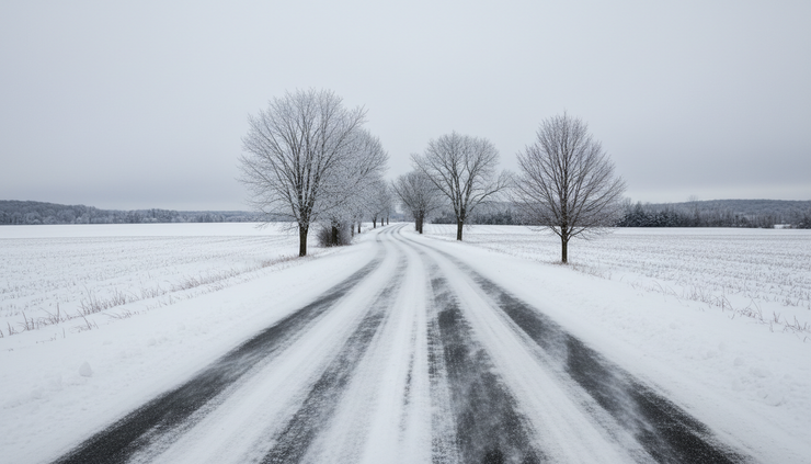
A nor’easter brings more than ordinary snow
A nor’easter is a strong storm that usually forms or strengthens along the East Coast. It gets its name from the northeast winds that often blow into affected areas as the storm develops. Those winds can pull moisture from the Atlantic and wrap it into colder inland air.
For coastal areas, nor’easters are known for pounding surf, beach erosion, and coastal flooding. For Central New York, the story is different. The biggest concerns are usually:
Heavy snow or wet snow
A rain and snow mix
Gusty winds
Low visibility
Power outages
Difficult travel
Lake-enhanced snow after the main storm
The track matters more than almost anything else. If the low pressure center tracks closer to the coast or inland, warmer air can push north and west. That can bring rain, sleet, or a sloppy mix. If the storm stays farther offshore and cold air holds, Central New York can see a more snow-focused event.
Small changes can make a noticeable difference. A town at lower elevation may deal with wet roads and slush, while nearby hills pick up heavier snow. In areas around Madison County and the higher ground south and east of Syracuse, elevation can help keep temperatures just cold enough for snow when valleys mix with rain.
The timing also matters. Snow that falls overnight may pile up before plows can fully catch up. Snow that falls during the morning or evening commute can cause slow travel even if totals are not extreme. Wet snow during the day can cling to tree limbs and wires, especially when winds increase.
That is why storm forecasts often change as the event gets closer. Early outlooks can show the general risk, but local details usually sharpen closer to arrival.
The storm track will decide who gets snow, mix, or rain
Central New York often sits near the battle zone in coastal storms. Cold air drains south from Canada, moisture rides up from the Atlantic, and warmer air may try to lift in from the southeast. The result can be a sharp line between snow and mixed precipitation.
If cold air stays locked in, snow can be steady and heavy. Roads may become packed or snow covered, especially on untreated secondary routes. Visibility can drop quickly during heavier bands.
If warmer air moves in above the ground, snow can change to sleet or freezing rain. Sleet usually bounces and piles up like tiny ice pellets, making sidewalks and driveways slick. Freezing rain is more serious because it coats surfaces in ice. Even a light glaze can make walking and driving risky.
If the warmer air wins fully, rain may take over for a while. That may sound easier, but rain falling on existing snow can clog drains, create ponding, and make heavy slush. When temperatures fall again, that slush can freeze into hard ridges and icy spots.
The backside of a nor’easter can bring another round of problems. As the storm pulls away, colder air often returns, and winds may turn more favorable for lake-effect or lake-enhanced snow. Areas downwind of Lake Ontario can see additional bands develop after the main precipitation shield exits.

For a Nor easter Coming Soon to New York Central What to Expect situation, the best forecast details are usually the ones that answer these questions:
Where is the rain and snow line expected to set up?
Will temperatures stay below freezing near the ground?
When will the heaviest precipitation arrive?
How strong will wind gusts get?
Will snow be light and fluffy or heavy and wet?
Could lake-enhanced snow add more after the main storm?
Those details matter more than a single snowfall number. A few inches of heavy wet snow with wind can cause more trouble than a higher amount of dry powder with lighter wind.
Travel could become slow before conditions look severe
Road conditions can go downhill before a storm looks dramatic out the window. A thin layer of slush can reduce traction. Blowing snow can hide lane markings. Sleet can make untreated surfaces slick in minutes.
Major routes in Central New York, including the Thruway corridor, I-81, Route 20, and rural county roads, can all face different issues during a nor’easter. Open farmland allows wind to sweep snow across the road. Hill roads can become difficult when wet snow packs down. Bridges and overpasses can freeze sooner than regular pavement.
Drivers should pay close attention to the transition times. The most dangerous periods often happen when precipitation changes type:
Snow changes to sleet
Sleet changes to freezing rain
Rain changes back to snow
Wet pavement starts freezing after dark
If travel is necessary, build in extra time and keep the car ready. That means a full fuel tank or a well-charged EV, an ice scraper, a small shovel, warm layers, and a phone charger. A blanket and water are smart additions, especially for longer drives through rural areas.
For local trips, the best choice may be to run errands before the storm starts. Pick up prescriptions, groceries, pet food, and anything needed for a day or two at home. That keeps cars off the road when plow crews need room to work.
A simple rule helps: if the storm is already underway and the trip is not urgent, wait. Conditions can improve once the heaviest precipitation moves through and crews have time to treat roads.
Transit and school schedules may also shift. Closings and delays depend on timing, road conditions, staffing, and local decisions. Check direct sources rather than relying on rumors. School districts, county emergency management pages, local transportation providers, and official weather offices are better guides than reposted screenshots.
Wind and power outages can be the hidden problem
Snow gets most of the attention, but wind often causes the most disruption. Nor’easters can produce strong pressure differences, which drive gusty winds across inland areas. When wet snow sticks to trees and wires, wind adds stress.
Power outages become more likely when three things line up:
Heavy wet snow accumulates on branches
Wind gusts increase
Temperatures hover near freezing
Central New York has many tree-lined roads, rural properties, and older neighborhoods with overhead lines. That makes preparation practical, not dramatic.
Before the storm arrives, charge phones, tablets, flashlights, and backup batteries. If you rely on medical equipment that needs power, review your backup plan early. Keep refrigerator and freezer doors closed during an outage. If using a generator, keep it outdoors and away from windows, doors, and vents. Carbon monoxide can build up quickly in enclosed or partly enclosed spaces.
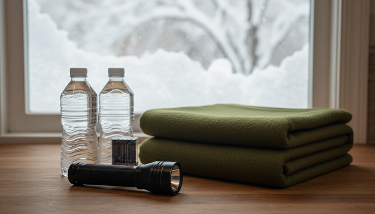
Homeowners and renters can reduce small problems by taking care of basics:
Bring in or secure lightweight outdoor items
Clear storm drains if it is safe
Move cars away from weak tree limbs when possible
Keep walkways treated before ice builds up
Know where flashlights are stored
Avoid using candles as the main light source
If snow is wet and heavy, shovel in stages. Waiting until the storm ends can make clearing driveways and sidewalks harder. Heavy snow can strain the back and heart, especially when it contains a lot of water. Take breaks, push snow when possible, and avoid throwing large loads.
Roof edges, porches, and older structures can also carry extra weight during wet storms. Most homes are built for winter weather, but trouble spots can arise where snow drifts or where old ice blocks drainage. Watch for leaks, sagging gutters, or large ice buildup after the storm.
Local impacts can vary by town and elevation
One of the most frustrating parts of a nor’easter is how uneven it can be. A forecast map may show a broad color band, but real conditions often depend on local terrain.
Higher elevations usually cool faster. That can help snow continue there while valleys mix with rain. Rural roads may drift sooner because wind has fewer buildings to block it. Areas closer to Lake Ontario may see extra snow if winds line up after the coastal storm moves away.
In Central New York, this means the experience can change over a short drive. A route that starts as wet pavement can turn snow covered after gaining elevation. Visibility can drop in open stretches, then improve near wooded areas or village centers.
Madison County is a good example of why local detail matters. The county includes hills, open agricultural land, villages, and routes that cross changing terrain. During a coastal storm, one part of the area may deal with slush and wind, while another sees steadier snow.
Forecasts from the National Weather Service are the best source for official watches, warnings, and advisories. Local emergency alerts, county updates, and road condition reports can fill in the ground-level picture. Use radar carefully. Radar shows where precipitation is falling, but it does not always show what type is reaching the ground where you are.
Temperature is the key number to watch. A difference of one or two degrees near freezing can change everything. So can the temperature above the surface, which is why sleet or freezing rain may appear even when your thermometer reads near 32°F.
What to do before, during, and after the storm
The best storm plan is simple. It should cover your home, your vehicle, and your schedule.
Before the storm, check the forecast from a trusted source and look for timing, precipitation type, wind, and warnings. Make sure devices are charged. Put winter gear where it is easy to find. If you have a snowblower, check fuel or battery charge before snow starts. If you park on the street, watch for local parking rules so plows can get through.
During the storm, keep travel limited. If you must go out, slow down before curves and intersections. Leave more space than usual. Do not assume a treated road is safe at full speed. Plows improve roads, but they cannot remove every slick spot during heavy precipitation.
If the power goes out, report it to your utility and avoid downed wires. Treat every downed line as live. Keep generators outside. Check on neighbors if it is safe, especially older adults or anyone with limited mobility.
After the storm, take cleanup in steps. Clear vents around heating systems and dryers. Remove snow from hydrants if one is near your property. Watch for refreezing at night, especially after daytime melting. Black ice can show up on driveways, steps, and untreated road shoulders.

A nor’easter is not a storm to panic over, but it is one to respect. The biggest impacts in Central New York usually come from timing, storm track, wet snow, wind, and quick changes in precipitation type. Watch the forecast trends, prepare before the first flakes or drops arrive, and give crews room to work once conditions turn.
The practical takeaway is clear: plan for a messy range of outcomes, not one perfect forecast number. If the storm shifts colder, you are ready for snow. If it shifts warmer, you are ready for slush, ice, and rain. That flexibility is what keeps a winter storm from becoming a bigger problem than it needs to be.


Comments