Winter Weather Forecast: What to Expect This Week with Rain and Snow Showers
- edu.plus.weatherray Rome
- Dec 28, 2025
- 3 min read

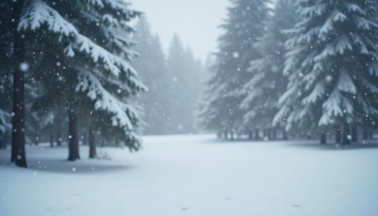
Winter is settling in with a mix of rain and snow showers expected throughout the week. If you live in an area prone to winter weather, it’s crucial to prepare for changing conditions that could affect your daily routine, travel plans, and outdoor activities. This week’s forecast includes periods of rain, snow showers, gusty winds, and fluctuating temperatures. Understanding what to expect can help you stay safe and comfortable.

Rain and Wind Today and Tonight
Today will start mostly cloudy with a high near 37°F. Rain is likely, especially after 5 p.m., with a 60% chance of precipitation. Expect new rainfall amounts between a tenth and a quarter of an inch. Winds will be calm in the morning but will shift to the east around 6 mph.
Tonight, rain will continue with a 100% chance of precipitation. Temperatures will drop to around 35°F. East winds will increase to 6 to 10 mph and then shift south after midnight, with gusts possibly reaching 20 mph. Rainfall could accumulate between three quarters and one inch. This combination of rain and wind may cause slippery roads and reduced visibility, so plan accordingly if you need to be out late.
Transition to Snow Showers on Monday
Monday will bring rain showers before 1 p.m., then a mix of rain and snow showers for the rest of the day. Temperatures will rise to near 45°F by 9 a.m. but fall to around 33°F during the afternoon and evening. Winds will come from the west at 10 to 17 mph, with gusts up to 30 mph, increasing the chill factor.
Snow accumulation is expected to be light, less than half an inch, but the gusty winds could create blowing snow in some areas. This transition period means roads may be wet and slushy, so drive carefully.

Monday Night and Tuesday Bring Heavier Snow
Monday night will see snow showers with patchy blowing snow after 10 p.m. Temperatures will drop sharply to around 18°F. West winds will be strong, ranging from 18 to 23 mph, with gusts as high as 37 mph. Snow accumulation could reach around 3 inches, which may cause hazardous travel conditions and reduced visibility.
Tuesday will continue with snow showers and a high near 25°F. Winds will remain breezy from the west at 16 to 23 mph, with gusts up to 34 mph. The chance of precipitation remains high at 90%, so expect ongoing snow and wind throughout the day.
Tuesday night will bring more snow showers, mainly after 1 a.m., with a 70% chance of precipitation. Temperatures will stay cold, around 20°F, and skies will be mostly cloudy.
Midweek Snow Showers and Cold Temperatures
Wednesday’s forecast calls for snow showers with a high near 30°F and a 90% chance of precipitation. Snow showers will likely continue into Wednesday night, mainly before 1 a.m., with a low around 12°F and a 70% chance of precipitation.
These cold temperatures combined with snow showers will keep conditions wintry and potentially slippery. It’s a good idea to keep extra supplies in your vehicle and home in case of delays or power outages.
New Year’s Day and Beyond: Snow Showers Continue
On New Year’s Day, expect a chance of snow showers with mostly cloudy skies and a high near 23°F. The chance of precipitation is 50%, so some areas may see light snow.
Thursday night and Friday will have a lower chance of snow showers, around 30%, with lows near 9°F on Thursday night and highs near 23°F on Friday. Snow showers remain possible on Friday night and Saturday, with chances increasing to 40% on Saturday and highs near 29°F.
Preparing for the Week Ahead
This week’s weather will challenge many with a mix of rain, snow, and strong winds. Here are some practical tips to stay safe and comfortable:
Check road conditions frequently before traveling, especially Monday night and Tuesday when snow accumulation and wind gusts peak.
Dress in layers to stay warm during cold temperatures, especially on Tuesday and Wednesday nights when lows drop below 20°F.
Keep emergency supplies in your car, including blankets, water, snacks, and a flashlight.
Allow extra travel time and drive cautiously on wet, icy, or snowy roads.
Protect outdoor plants and pets from harsh winds and cold temperatures.
Stay informed by monitoring local weather updates for any changes or warnings.


Comments