Upcoming Weather Forecast A Mix of Snow and Cold Temperatures Ahead
- edu.plus.weatherray Rome
- Feb 4
- 3 min read

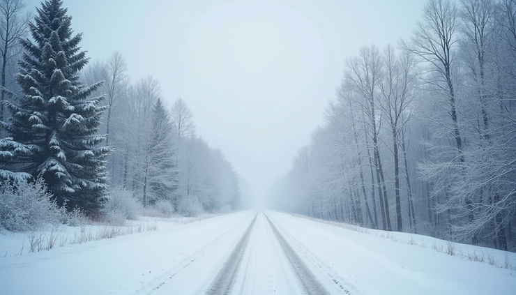
Winter is settling in with a mix of snow showers and chilly temperatures expected over the next several days. If you have plans to be outdoors or need to prepare your home and wardrobe, this forecast offers a clear picture of what to expect. From light snow accumulations to cold nights dipping below zero, staying informed will help you stay safe and comfortable.

Snow Showers and Temperatures This Afternoon and Tonight
This afternoon brings a chance of snow showers with mostly cloudy skies. The high temperature will hover near 25 degrees Fahrenheit, accompanied by a gentle west wind around 6 mph. While the chance of precipitation is moderate at 30%, any snow accumulation will be light, less than half an inch.
Tonight, the chance of snow showers increases slightly to 40%, with mostly cloudy skies continuing. Temperatures will drop to around 12 degrees Fahrenheit, and winds will remain light from the west. Expect new snow accumulation to remain under half an inch, so while roads and sidewalks may get slippery, heavy snow is unlikely.
Thursday’s Weather: Snow Mainly in the Morning
Thursday will see a chance of snow showers mainly before 1 p.m., with mostly cloudy skies throughout the day. The high temperature will be near 23 degrees Fahrenheit. Winds will be calm in the morning and pick up slightly to around 5 mph from the west later in the day. The chance of precipitation remains at 30%, but little or no snow accumulation is expected, meaning any snow will likely melt quickly or remain light.
Thursday Night and Friday: Cooling Down and More Snow
Thursday night will be mostly cloudy with temperatures dropping to about 7 degrees Fahrenheit. Winds will be calm, making for a cold but stable night.
Friday brings another chance of snow, especially after 1 p.m., with mostly cloudy skies and a high near 28 degrees Fahrenheit. Winds will be light and variable in the morning, shifting to the south at around 5 mph in the afternoon. The chance of precipitation rises to 40%, signaling a higher likelihood of snow showers later in the day.
Friday night will be the coldest so far, with snow expected and temperatures falling to around 0 degrees Fahrenheit. The chance of precipitation is very high at 90%, so significant snow accumulation is likely. This could impact travel and outdoor activities, so plan accordingly.
Weekend Outlook: Cold and Snowy Conditions Continue
Saturday will start cold with a high near 8 degrees Fahrenheit. There is a chance of snow before 1 p.m., but the chance of precipitation drops to 30%. Skies will be mostly cloudy, and the cold will persist throughout the day.
Saturday night will be very cold, with temperatures dropping to around -9 degrees Fahrenheit. Expect mostly cloudy skies and a chilly night that calls for extra warmth indoors.
Sunday offers a slight break with partly sunny skies and a high near 11 degrees Fahrenheit. However, Sunday night will return to mostly cloudy conditions with a low around -3 degrees Fahrenheit.
Early Next Week: Gradual Warming with Mixed Skies
Monday will bring partly sunny skies and a warmer high near 19 degrees Fahrenheit. The night will be mostly cloudy with lows around 7 degrees.
By Tuesday, the weather continues to improve slightly with partly sunny skies and a high near 27 degrees Fahrenheit. This gradual warming trend may provide some relief from the coldest days but expect the snow and chill to remain part of the forecast for the near future.

Preparing for the Coming Weather
With snow showers and cold temperatures expected over the next week, here are some practical tips to stay safe and comfortable:
Dress in layers to stay warm, especially on the coldest nights when temperatures drop below zero.
Keep sidewalks and driveways clear of snow to prevent slips and falls. Light snow accumulations may not seem significant but can still create hazards.
Check your vehicle’s readiness for winter driving, including tire tread, windshield wiper fluid, and antifreeze levels.
Monitor local weather updates for any changes, especially Friday night when heavy snow is likely.
Prepare your home by sealing drafts and ensuring heating systems are working efficiently.
Staying ahead of the weather helps you avoid surprises and keeps your daily routine running smoothly despite winter’s challenges.


Comments