Stormy Weekend Ahead with Sunshine Midweek

Central New York gets a little bit of everything over the next several days: afternoon showers, patchy overnight fog, a bright Friday, then a wetter and stormier stretch for the weekend. The pattern is not all washout weather, but the timing matters. The best outdoor window comes late Thursday into Friday, while Saturday night and Sunday look much more unsettled.
For the Canastota area and nearby communities, the forecast starts mild and partly sunny, with temperatures near 81 this afternoon. Showers become more likely during the mid to late afternoon, and a thunderstorm could develop. After that, the weather briefly settles down before another round of rain arrives this weekend.
Afternoon showers may turn briefly stormy
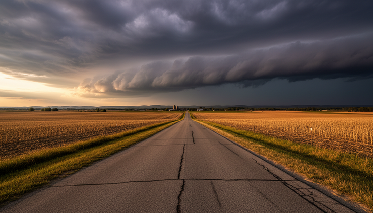
This afternoon brings the first active period of the forecast. A few showers may pop up before 2 p.m., but the better chance for rain arrives between 2 p.m. and 5 p.m. During that window, showers are likely, and a thunderstorm is possible.
The chance of precipitation sits near 60 percent. Most places should see light rainfall, generally less than a tenth of an inch. Thunderstorms can always change that locally, since a slow or stronger cell can drop heavier rain in a short time.
Temperatures stay warm, with a high near 81. Winds will be light from the west at 5 to 7 mph, so this is not a wind-driven system. The main concern is the usual late-day mix of wet roads, brief downpours, and lightning if storms form.
For anyone planning errands, youth sports, mowing, walking the dog, or an evening drive, the timing is worth watching. The forecast does not point to severe weather from the details provided, but lightning can still make outdoor activity unsafe. If thunder is heard, it is time to move indoors.
After 5 p.m., showers and thunderstorms remain possible, but the chance should start to ease compared with the mid-afternoon peak. Skies will stay mixed rather than fully gray all day, so some areas may see sun between showers.
Fog returns overnight before a quieter Thursday
Tonight looks calmer once the afternoon and evening showers fade. Skies turn partly cloudy, and temperatures drop to around 55. Winds become light out of the southwest.
The main overnight feature is patchy fog after midnight. Fog is common in Central New York when light winds, recent moisture, and clearing skies line up. It may not form everywhere, but it can reduce visibility quickly in low spots, open fields, river valleys, and areas near lakes or wetlands.
Thursday morning may start with fog before 9 a.m. Drivers should allow a little extra space if visibility drops on rural roads or near low-lying areas. Fog can be especially tricky around sunrise because brightness changes fast, and visibility may vary from one stretch of road to the next.
Thursday itself looks mostly manageable. Clouds increase through the day, and the high reaches near 77. A slight chance of showers develops between noon and 2 p.m., with the chance of precipitation around 20 percent. That means many locations will stay dry, but a brief shower cannot be ruled out.
Winds begin calm, then turn northwest at 5 to 7 mph during the afternoon. Thursday night turns mostly clear with a low around 51, and calm wind returns.
Friday brings the best weather window
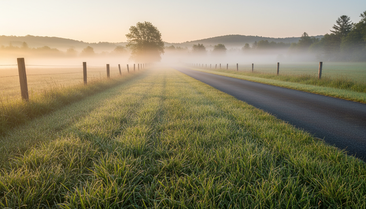
Friday is the standout day in this forecast. Sunshine returns, temperatures rise to near 80, and winds remain calm. Friday night stays mostly clear with a low around 56.
That combination makes Friday the best day for outdoor plans before the weekend turns wetter. It should be a good day for yard work, local travel, outdoor dining, a walk along the Erie Canal corridor, or getting weekend setup done before rain arrives.
The air will still feel seasonably warm, but not oppressive based on the forecast details. With light wind and sunshine, the afternoon may feel warmer in direct sun, especially on pavement, patios, and athletic fields.
If there is one day to prioritize outdoor chores, Friday is it. This is the break between two unsettled periods, and it comes at a useful time before Saturday night and Sunday bring a stronger rain signal.
A simple planning view looks like this:
Day | Main weather theme | High and low | Rain chance |
This afternoon | Showers likely, thunder possible | High near 81 | 60 percent |
Tonight | Partly cloudy, patchy fog late | Low around 55 | Low after showers fade |
Thursday | Increasing clouds, slight midday shower chance | High near 77 | 20 percent |
Thursday night | Mostly clear and calm | Low around 51 | Low |
Friday | Sunny and pleasant | High near 80 | Low |
Friday night | Mostly clear | Low around 56 | Low |
Saturday | Mostly sunny early, showers possible after 2 p.m. | High near 83 | 30 percent |
Saturday night | Showers mainly after 8 p.m. | Low around 59 | 80 percent |
Sunday | Showers, storms possible after 2 p.m. | High near 78 | 80 percent |
Monday | Partly sunny with a chance of showers | High near 75 | 40 percent |
Tuesday | Partly sunny | High near 77 | Not specified |

Saturday starts usable before rain increases at night
Saturday does not look like a total loss, especially early. The forecast calls for mostly sunny skies and a high near 83, which makes it the warmest day in the extended outlook. A chance of showers arrives after 2 p.m., with precipitation odds near 30 percent.
That means Saturday daytime plans still have room, but the risk grows later in the day. Morning and early afternoon appear more favorable for outdoor events, errands, gardening, and travel. If plans run into the late afternoon or evening, rain backup options become more useful.
Saturday night is the bigger shift. Showers are expected mainly after 8 p.m., with the chance of precipitation climbing to 80 percent. The low will be around 59, so it stays fairly mild overnight.
This is the portion of the forecast that points toward a stormy weekend ahead with sunshine midweek, since the fair weather around Friday gives way to a much wetter setup by Saturday night. Rain after dark can also create slick roads, especially where leaves, dust, pollen, or earlier dry pavement mix with fresh rainfall.
Anyone attending evening events should plan for wet conditions. A rain jacket, umbrella, and shoes that can handle puddles will be more useful than hoping the showers wait until later. Campers and those with outdoor equipment should secure items before dark, since rain could become steady overnight.
Sunday is the wettest day of the stretch
Sunday has the strongest rain signal in the forecast. Showers are expected, and thunderstorms are possible after 2 p.m. The chance of precipitation remains near 80 percent, and the high reaches around 78.
This does not mean every minute of Sunday will bring heavy rain. Weather often comes in waves, with breaks between showers. Still, the overall message is clear: Sunday favors indoor plans, flexible schedules, and extra caution for outdoor activities.
The thunderstorm risk after 2 p.m. matters for sports, parks, lakes, and outdoor gatherings. Even if rain is light at first, thunder changes the situation. Lightning can strike well away from the heaviest rain, so people outdoors should take thunder seriously.
Sunday night begins unsettled, with a chance of showers and thunderstorms before 8 p.m. After that, the chance changes to showers between 8 p.m. and 2 a.m. Skies remain mostly cloudy, and the low drops to around 54. The precipitation chance decreases to 30 percent.
By Monday, the storm system should be easing, but not fully gone. A chance of showers remains, with partly sunny skies and a high near 75. The chance of precipitation is 40 percent. Monday night looks partly cloudy with a low around 53, and Tuesday turns partly sunny with a high near 77.
How to plan around the changing forecast
This forecast rewards timing. The wettest periods are not spread evenly across every day. Some windows look much better than others.
The most useful takeaways are straightforward:
Best outdoor window
Friday looks sunny, calm, and warm with a high near 80.
Best early weekend window
Saturday morning into early afternoon looks more usable before shower chances increase later.
Wettest stretch
Saturday night through Sunday carries the highest rain chances.
Fog concern
Late tonight into Thursday morning may bring patchy fog, especially in low-lying areas.
Thunder concern
Thunderstorms are possible this afternoon and again Sunday afternoon and evening.
For lawn and garden work, Friday is the cleanest choice. This afternoon may be interrupted by showers, and the weekend gets less reliable as it goes on. If planting, mowing, or trimming must happen on Saturday, earlier is better.
For travel, the main slowdowns may come during this afternoon’s showers, late-night or early-morning fog, and the wetter Saturday night to Sunday period. Roads can get slick during the first round of rain after a dry spell, and brief downpours can reduce visibility in a hurry.
For outdoor events, Friday is the safest pick. Saturday needs a backup plan after mid-afternoon, and Sunday needs a rain plan from the start. If an event depends on dry fields, dry seating, or electrical equipment outside, Sunday looks risky.
For farmers, gardeners, and anyone watching soil moisture, the forecast suggests light rain this afternoon for most locations, with higher amounts possible only in thunderstorms. The more meaningful rain chance arrives Saturday night and Sunday. Local totals can vary when thunderstorms are involved, so nearby areas may not receive the same amount.
The cooler finish looks more settled
After the weekend rain, temperatures ease back slightly. Monday’s high near 75 and Tuesday’s high near 77 point to a milder start to the week. Nights remain comfortable, with lows in the low to mid-50s.
That pattern is typical for Central New York during a changeable stretch. Warm afternoons can fuel showers and storms, then a passing system clears the air and brings a cooler feel. The forecast does not show a sharp cold snap. It looks more like a return to seasonable comfort after a humid, showery weekend period.
The key is to use the dry windows well. This afternoon may turn wet and briefly stormy. Thursday is mostly workable, though clouds increase and a stray midday shower may pass through. Friday is the prize, with sunshine and calm conditions. Saturday starts fine but trends wetter later. Sunday looks like the day to keep rain gear close and outdoor plans flexible.
The practical takeaway is simple: get outdoor plans done by Friday if possible, keep Saturday evening plans rain-ready, and expect Sunday to be unsettled. Central New York will get a bright break before the weekend, but the next round of showers is already lined up.


Comments