Rainy Weekend, Foggy Mornings, and a Mild Week Ahead

The weekend starts calm enough, but the window for dry outdoor plans is limited. Clouds increase today, rain moves in late tonight, and Sunday looks like the wettest stretch of the forecast. After that, central New York settles into a mild, steady pattern with cool nights, partly sunny afternoons, and a couple of foggy mornings to watch.
For Madison County and nearby areas, the main story is timing. Today still offers a decent chance to get errands, yard work, or travel done before conditions turn damp. Sunday brings widespread rain, then the new workweek opens quieter, with temperatures staying comfortably mild for this time of year.

Clouds increase today before rain develops late tonight
Today looks dry for most daytime plans, even as sunshine fades behind more cloud cover. Expect increasing clouds with a high near 69°F. Winds stay light out of the east, so the day should not feel harsh or raw. It will feel more like a mild, quiet setup day before the next system arrives.
The light east wind matters because it will not do much to mix the air or dry things out. As clouds thicken, the atmosphere slowly moistens. That sets the stage for rain late tonight, mainly toward the pre-dawn hours.
Tonight turns mostly cloudy with a low near 49°F. Rain becomes likely, especially after 5 a.m. The chance of precipitation is 60%, with new rainfall amounts between 0.10 and 0.25 inch possible.
That means the evening itself may still be manageable for travel and local plans, but the early morning hours could turn wet. If heading out before sunrise Sunday, expect damp roads and reduced visibility in spots once rain begins.
A good way to think about today:
Time period | Expected conditions | What it means |
Today | Increasing clouds, high near 69°F | Best window for dry outdoor plans |
Tonight | Mostly cloudy, rain likely late | Roads may turn wet before daybreak |
Early Sunday | Rain becoming widespread | Give yourself extra travel time |
The late start to the rain may make Saturday feel more useful than the rest of the weekend. If there are leaves to clear, outdoor furniture to move, gutters to check, or a quick trip to make, earlier is better.
Sunday brings the steadiest rain of the forecast
Sunday is the wettest day ahead. Rain is expected, mainly before 3 p.m., with a high near 61°F. The chance of precipitation is listed at 100%, so this is not a day to count on long dry breaks.
Winds turn northeast at 5 to 7 mph. That is not a strong wind, but a northeast breeze tends to add a cool, damp feel, especially when rain is steady. Sunday will likely feel much cooler than today, even though the temperature stays in the lower 60s.
Forecast rainfall for Sunday ranges from 0.50 to 0.75 inch. That is enough to soak lawns, fill low spots, and leave puddles on roads. It does not point to a major storm by itself, but it is plenty for a wet, gray day.
The timing also matters. Since the rain is expected mainly before mid-afternoon, the back half of the day may slowly improve. That does not mean sunshine arrives quickly. Clouds may linger, and surfaces will stay wet for a while. But the steadiest rain should begin to taper later in the day.
For Sunday plans, think in practical terms:
Morning travel
Expect wet roads, steady rain, and splash from other vehicles.
Outdoor events
Have a rain plan ready. Even light breaks may not last long enough to keep things dry.
Yard work
Wet leaves and soft ground will make most outdoor chores harder.
Pets and livestock
Plan for muddy paths, soaked grass, and damp bedding areas where relevant.
Rain on a Sunday also affects the start of the week. Wet ground, clearing skies, and lighter winds Sunday night can help fog form by early Monday.

Fog becomes the next concern Sunday night and Monday morning
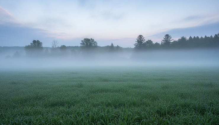
Once the rain exits, fog becomes the feature to watch. Sunday night brings areas of fog after 4 a.m. The sky stays cloudy at first, then gradually becomes partly cloudy. The low falls to around 43°F.
Winds will be light. A north wind around 6 mph becomes calm in the evening. Calm air after a rainy day is one of the classic setups for fog, especially in valleys, near creeks, around low fields, and along rural roads.
Monday starts with areas of fog before 9 a.m. After that, skies turn partly sunny with a high near 65°F. Wind stays light early, then becomes north around 6 mph in the afternoon.
Fog can be more disruptive than it sounds. It often forms unevenly. One road may look clear, while the next dip or open field has thick fog sitting close to the ground. That can catch drivers off guard, especially before sunrise.
Use extra care Monday morning if traveling through:
Low-lying roads
River and creek valleys
Open farm country
Shaded rural stretches
Places where deer are active near dawn
If fog is present, low-beam headlights work better than high beams. High beams reflect off fog droplets and can make visibility worse. Leave more space between vehicles, slow down before intersections, and watch for school buses or farm equipment where visibility changes quickly.
Sunday night and Monday morning will also feel cooler. Lows in the lower 40s are not unusual for central New York, but after a mild Saturday near 69°F, the change may stand out. A light jacket will feel useful early Monday, even though the afternoon turns comfortable.
The workweek stays mild with a steady rhythm
After Monday morning fog clears, the rest of the week looks fairly even. There are no big temperature swings in the forecast. Afternoon highs hold mostly in the mid-60s, while nights settle into the lower 40s.
That kind of pattern can be useful. It is cool enough at night for fall routines, but mild enough in the afternoon for errands, walks, farm work, and late-season yard cleanup.
Here is the day-by-day outlook:
Day | Forecast | High | Low |
Monday | Fog early, then partly sunny | 65°F | 42°F |
Tuesday | Partly sunny, mostly cloudy at night | 64°F | 42°F |
Wednesday | Partly sunny, mostly cloudy at night | 65°F | 43°F |
Thursday | Partly sunny, chance of showers at night | 64°F | 43°F |
Friday | Partly sunny | 67°F | Not listed |
Monday night turns mostly cloudy with a low around 42°F. Tuesday looks partly sunny with a high near 64°F, followed by another mostly cloudy night near 42°F.
Wednesday follows the same general theme, partly sunny with a high near 65°F, then mostly cloudy at night with a low near 43°F. Thursday stays partly sunny with a high near 64°F, but Thursday night brings a 30% chance of showers. Friday returns to partly sunny skies with a high near 67°F.
The mild pattern does not mean every hour will feel bright or dry. Cloud cover remains part of the story. Still, compared with Sunday’s rain, the weekday forecast looks much easier to work around.
A few planning notes for central New York
This forecast favors flexibility. The rain is concentrated in a fairly clear window, then the week settles down. That makes it easier to decide what can wait and what should move earlier.
Today is the best time for outdoor chores. With a high near 69°F and only increasing clouds expected, this is the better day for mowing, raking, garden cleanup, or checking drainage before rain arrives.
Sunday is the indoor day. With rain likely through much of the day and a 100% chance of precipitation, outdoor plans will face a steady challenge. If something must happen outside, waterproof layers and dry backup storage will matter.
Monday morning needs patience. Fog before 9 a.m. could slow the commute or school drop-off. Conditions may improve quickly once the sun gets higher, but early visibility may vary from one location to the next.
The middle of the week looks dependable. Tuesday through Thursday should bring partly sunny afternoons and cool, mostly cloudy nights. That is a useful stretch for postponed errands and late-fall maintenance.
Thursday night is the next small rain chance. A 30% chance of showers is not a washout signal, but it is enough to keep an eye on if planning evening travel or outdoor work.
The mild afternoons also help after Sunday rain. Wet ground may need time to firm up, especially in shaded yards or fields. Even when the sky looks better, soil and leaf piles may stay damp.

The main takeaway for the days ahead
The forecast has three clear phases. Today stays mild and mostly dry as clouds increase. Late tonight and Sunday bring the main rain event, with Sunday looking wet through at least the first part of the afternoon. Then fog becomes the early Monday issue before the week settles into a mild, partly sunny pattern.
Plan outdoor work for today if possible. Treat Sunday as a rainy day. Build in extra time Monday morning where fog develops. After that, the week looks steady, cool at night, mild by day, and generally manageable for central New York.


Comments