Rainy Start, Brighter Finish: Midweek Storms Give Way to a Sunny Weekend

A wet and unsettled stretch is expected to carry through Thursday night, with repeated rounds of showers and a few thunderstorms before drier, warmer weather arrives Friday and Saturday. The forecast calls for the heaviest rain chances from this afternoon through Wednesday, when precipitation probabilities stay near 90% to 100%.
The pattern matters because several days of rain could slow travel, interrupt outdoor plans, and leave standing water in poor-drainage spots. Thunderstorms may also bring brief downpours, lightning, and locally higher rainfall totals.

Rain and storms dominate through Wednesday
The rainiest stretch begins this afternoon with showers and possibly a thunderstorm. Temperatures are expected to reach a high near 77°F, with a southeast wind around 8 mph. The chance of precipitation is listed at 100%, and new rainfall amounts may range from one-half to three-quarters of an inch.
More rain is expected tonight. Showers and a possible thunderstorm remain in the forecast, with a low near 62°F. Winds should stay from the southeast around 6 mph before becoming light and variable after midnight. The chance of precipitation drops only slightly to 90%, with additional rainfall between three-quarters of an inch and one inch possible.
By Wednesday, the unsettled weather continues. Showers are likely during the morning, followed by showers and possibly a thunderstorm after 11 a.m. The high should reach near 75°F. Winds are forecast from the west at 5 to 8 mph, becoming east in the morning. Rainfall amounts may reach one-quarter to one-half of an inch.
Wednesday night remains cloudy and damp. Showers are likely, and a thunderstorm is still possible before 2 a.m. After that, the rain chance eases to scattered showers. The low should settle near 60°F, with a north wind around 6 mph becoming calm in the evening. New rainfall may range from one-tenth to one-quarter of an inch, though thunderstorms could produce higher amounts in some spots.
The wettest window arrives early in the forecast
The first 36 hours carry the highest rain probabilities and the greatest chance for heavier totals. The forecast suggests totals could add up quickly where storms repeat over the same area.
Period | Forecast | Rain chance | Expected temperature |
This afternoon | Showers and possibly a thunderstorm | 100% | High near 77°F |
Tonight | Showers and possibly a thunderstorm | 90% | Low near 62°F |
Wednesday | Showers likely, then storms possible after 11 a.m. | 90% | High near 75°F |
Wednesday night | Showers likely, storm possible before 2 a.m. | 70% | Low near 60°F |
Thursday | Showers likely, storm possible after 2 p.m. | 70% | High near 77°F |
Thursday night | Showers likely early, then slight chance late | 60% | Low near 59°F |
The repeated rain chances mean the main impact will likely be wet roads and reduced visibility during heavier downpours. Drivers should allow extra time, especially during the afternoon and evening periods when showers and storms are expected to be active.
The midweek forecast keeps rain chances high, with several rounds of showers before a much brighter finish arrives Friday.

Thursday keeps storm chances in place
Thursday will not bring a clean break from the wet pattern. A chance of showers is expected early, with showers likely and possibly a thunderstorm after 2 p.m. Skies should remain mostly cloudy, and the high is forecast near 77°F. Winds should be light, coming from the north at 3 to 7 mph.
Thursday night may start damp, with showers likely and possibly a thunderstorm before 8 p.m. After that, the forecast turns quieter, with only a slight chance of showers between 8 p.m. and 2 a.m. The night should stay mostly cloudy, with a low near 59°F. The chance of precipitation is 60%.
This period marks the transition point. Rain chances remain high enough to affect evening activities, but the late-night forecast begins to show signs of improvement. If the pattern holds, Friday will open the door to a drier and warmer end to the workweek.
Friday and Saturday bring the best weather window
The most noticeable improvement arrives Friday. The forecast calls for mostly sunny skies and a high near 81°F. Friday night should be partly cloudy, with a low around 60°F.
Saturday should stay pleasant, though not completely clear. Partly sunny skies are expected, with a high near 83°F. Saturday night turns mostly cloudy, and temperatures should remain mild, with a low around 64°F.
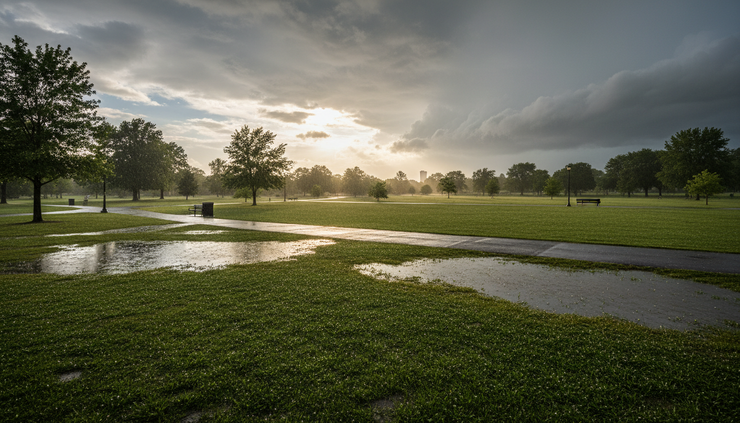
For outdoor plans, Friday and Saturday look like the strongest stretch of the forecast. Lawns, fields, and low-lying areas may still be damp after several days of rain, but the sky conditions should be much more favorable than earlier in the week.
That brighter break is the key change in this Rainy Start, Brighter Finish: Midweek Storms Give Way to a Sunny Weekend pattern. The forecast does not turn completely dry for the full seven-day period, but the late-week improvement stands out clearly.
Shower and storm chances return by Sunday
The dry break may not last all weekend. Sunday brings a chance of showers and thunderstorms under mostly cloudy skies. The high should reach near 83°F, with the chance of precipitation at 50%.
Sunday night remains unsettled, with a chance of showers and thunderstorms and a low around 63°F. Rain chances dip to 40%.
By Monday, the forecast still includes a chance of showers and thunderstorms, though the probability falls to 30%. Skies should be partly sunny, and temperatures are expected to reach near 82°F.
The late-weekend forecast is not a washout at this point, but it does suggest that anyone with Sunday plans should keep an eye on later updates. Thunderstorm chances can shift by timing and location, especially several days out.
What to watch over the next few days
The forecast points to three main concerns through Thursday night:
Repeated rainfall
Several rounds of showers could produce standing water in low spots and poor-drainage areas.
Thunderstorms
Lightning and brief heavy rain are possible, especially during the afternoon and evening periods.
Changing weekend timing
Friday and Saturday look drier, but rain chances return Sunday and Monday.
Residents should monitor updated forecasts if thunderstorms develop nearby. If thunder is heard, outdoor activities should move indoors until storms pass. Drivers should avoid water-covered roads, since depth can be hard to judge.

A slow turn toward better conditions
The week begins with a soggy and stormy setup, then gradually improves after Thursday night. The highest rain chances arrive from this afternoon through Wednesday, with more showers and storms likely Thursday before conditions turn mostly sunny Friday.
Saturday looks like the better weekend day, with partly sunny skies and highs in the lower 80s. Sunday and Monday bring back the chance for showers and thunderstorms, but with lower probabilities than the midweek stretch. The main takeaway is simple: keep rain gear close through Thursday, then look for a brighter and warmer finish as the weekend begins.


Comments