Prepare for Winter Storm Watch: Heavy Snow and Hazardous Travel Conditions Ahead
- edu.plus.weatherray Rome
- Dec 9, 2025
- 3 min read

Winter weather is about to bring significant challenges to Wayne and Northern Cayuga Counties. A winter storm watch is in effect from late Wednesday night through Friday morning, warning residents of heavy lake effect snow and strong winds. This storm could produce snow accumulations of 7 inches or more in some areas, along with gusty winds reaching up to 35 mph. These conditions will create blowing and drifting snow, leading to difficult travel and poor visibility.
Understanding the details of this winter storm watch and preparing accordingly can help keep you and your loved ones safe during the upcoming days.
What to Expect from the Winter Storm
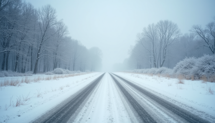
The main threat from this storm is heavy lake effect snow. This type of snow forms when cold air moves over the warmer waters of nearby lakes, picking up moisture and dumping it as snow on the downwind shores. Wayne and Northern Cayuga Counties lie in the path of these snow bands, which can be narrow but intense.
Snow Accumulations: Expect 7 inches or more in areas where the lake effect snow persists.
Wind Gusts: Winds could gust as high as 35 mph, causing blowing and drifting snow.
Timing: The storm will begin late Wednesday night and continue through Friday morning.
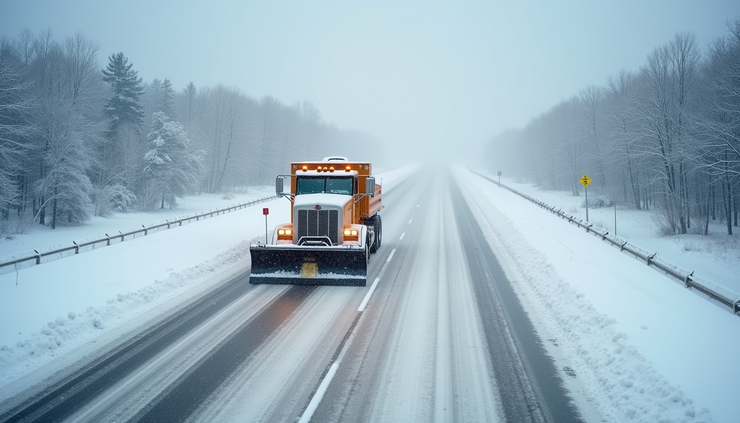
Travel Impact: Roads will become snow-covered and slippery, with visibility reduced due to blowing snow.
These conditions will likely affect the Thursday morning and evening commutes, making travel hazardous.
Preparing for Hazardous Travel Conditions
Travel during heavy snow and strong winds requires extra caution. Here are some practical steps to prepare:
Check Road Conditions Frequently
Before heading out, check local traffic and weather updates. Snow bands can cause rapid changes in road conditions.
Allow Extra Travel Time
Expect slower traffic and possible delays. Plan to leave earlier than usual to avoid rushing.
Keep Your Vehicle Winter-Ready
Ensure your tires have good tread and are properly inflated. Keep your gas tank at least half full to avoid fuel line freeze-up.
Carry an Emergency Kit
Include items like blankets, water, snacks, a flashlight, and a fully charged phone in case you get stranded.
Drive Cautiously
Reduce speed, increase following distance, and avoid sudden stops or turns. Use headlights to improve visibility.
Avoid Unnecessary Travel
If possible, stay off the roads during the worst of the storm, especially during peak snow and wind periods.
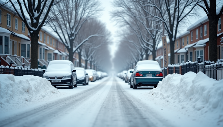
Impact on Daily Life and Community Services
The winter storm will affect more than just travel. Residents should prepare for potential disruptions:
School and Work
Schools may delay openings or close depending on conditions. Employers might encourage remote work or flexible hours.
Emergency Services
Response times could be slower due to road conditions. Keep emergency numbers handy and avoid non-essential calls.
Power Outages
Strong winds combined with heavy snow can bring down power lines. Have flashlights and batteries ready, and keep electronic devices charged.
Grocery and Supply Runs
Stock up on essentials before the storm arrives. Local stores may have limited hours or supplies during the event.
Staying Informed and Safe
Keeping up with the latest weather updates is crucial. Use reliable sources such as the National Weather Service or local news outlets. Sign up for emergency alerts if available in your area.
Monitor weather forecasts regularly.
Follow instructions from local authorities.
Share information with neighbors, especially those who may need extra help.
Winter storms can create dangerous conditions quickly. By preparing your home, vehicle, and schedule, you can reduce risks and stay safe. Remember that narrow bands of heavy snow can cause sudden changes in visibility and road conditions, so remain alert and cautious.


Comments