Mild Week Ahead with Showers Late and Sunny Weekend Ahead

A mild stretch is setting up across Central New York, but it will not be completely dry. The pattern brings a mix of increasing clouds, late-night showers, a cooler but brighter end to the workweek, and a pleasant Saturday before rain chances return later Sunday into Columbus Day.
For Madison County and nearby parts of Central New York, this is a forecast with several useful windows. Outdoor plans look best Friday afternoon and Saturday. The wettest periods are late tonight into Thursday, then again Sunday night. Rain amounts look light with the first round, but the timing could still affect the Thursday commute, errands, school activities, and outdoor work.
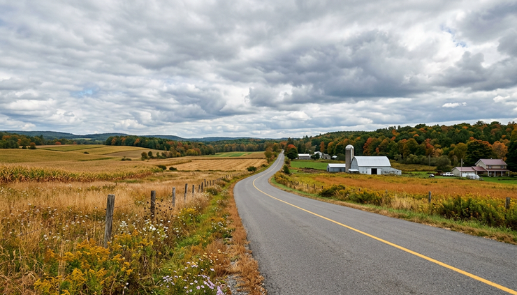
The week starts mild before showers move in late
Today brings a mild feel for this time of year, with a high near 68 degrees. Clouds will increase through the day, but much of the daylight period should stay manageable for errands, outdoor work, and travel.
Winds will start from the southeast at 6 to 10 mph, then turn southwest during the afternoon. That wind shift is part of the setup for the next round of unsettled weather. It will not feel harsh, but the sky will likely look less bright as the day goes on.
Tonight is when the first meaningful rain chance arrives. Showers become likely, mainly after 2 a.m., with mostly cloudy skies and a low around 49 degrees. The chance of precipitation is 60%, though expected new rainfall is light, generally less than a tenth of an inch.
That means the overnight period may sound damp, but this does not look like a soaking rain for most places. Roads could still become wet by early Thursday, especially where showers pass through before daybreak. Anyone leaving early may want to allow a little extra time, not because of major weather hazards, but because wet roads and low clouds can slow the morning down.
The practical takeaway for today is simple:
Best outdoor window Earlier today into the afternoon, before showers become more likely overnight.
Main change to watch Clouds thicken, then showers develop late tonight.
What to keep handy A light jacket and umbrella, especially if heading out before sunrise Thursday.
Thursday brings showers, then gradual clearing
Thursday will start mostly cloudy, with showers likely at times. The best chance for showers is mainly between noon and 3 p.m., though a few showers may linger outside that window. The high will be near 63 degrees, which is still mild, but cooler than today.
Winds will turn west at 6 to 14 mph, with gusts as high as 24 mph. That breeze will make the day feel a little more unsettled, especially while clouds and showers are around. It may not be a cold wind, but it will be noticeable in open areas, on hilltops, and near fields.
Rain amounts again look light, with new precipitation of less than a tenth of an inch possible. This is more of an on-and-off shower setup than a steady, heavy rain event.
By later Thursday, skies should gradually become sunny. That clearing trend matters because it opens the door to a brighter finish to the day. If you have outdoor tasks that can wait until late afternoon or early evening, that may be the better window.
Thursday night looks much quieter. A chance of showers remains between 7 p.m. and 8 p.m., then skies turn partly cloudy. The low drops to around 42 degrees, with southwest wind at 3 to 6 mph. The chance of precipitation falls to 30%.
That cooler Thursday night will feel more like fall, especially compared with the mild afternoon temperatures earlier in the week. It is a good night to close windows before bed and bring in anything that should not sit out damp overnight.
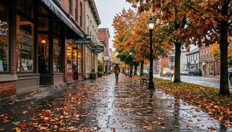
Friday and Saturday look like the best stretch
Friday begins a brighter and drier stretch. The forecast calls for mostly sunny skies and a high near 61 degrees. It will be cooler than Saturday, but still comfortable for early October outdoor plans, especially during the afternoon.
The west wind will run 6 to 11 mph, with gusts as high as 21 mph. That breeze may be enough to move fallen leaves around and make shaded spots feel cool. In the sun, though, Friday should be a pleasant day.
Friday night turns mostly clear, with a low around 40 degrees. That is one of the colder nights in this forecast period. It is not extreme, but it is cool enough to notice in the morning. A heavier sweatshirt or light coat will feel right for early plans, especially in rural areas and colder valleys.
Saturday is the standout day of the forecast. Mostly sunny skies return, with a high near 70 degrees. After a cooler Friday night, the afternoon should feel mild and comfortable. This is the best day in the forecast for yardwork, local drives, outdoor events, and fall activities.
Saturday night remains quiet, with partly cloudy skies and a low around 50 degrees. That is milder than Friday night and sets up a warmer start to Sunday.
Here is the quick day-by-day breakdown for the most useful planning period:
Day | Forecast | High | Main planning note |
Today | Increasing clouds | Near 68 | Mild, with showers likely late tonight |
Thursday | Showers likely, then some sun | Near 63 | Wettest window mainly noon to 3 p.m. |
Friday | Mostly sunny | Near 61 | Breezy but dry and bright |
Saturday | Mostly sunny | Near 70 | Best outdoor day of the week |
Sunday | Partly sunny, chance of showers after 2 p.m. | Near 72 | Mild, but rain chances rise late |
The weekend is not a complete washout. Saturday looks strong. Sunday starts with potential, but the shower chance after 2 p.m. means earlier plans carry less risk than late-day plans.
For anyone trying to schedule fall chores, Saturday is the clear pick. Mowing, raking, cleaning gutters, moving outdoor furniture, visiting a pumpkin patch, or taking a local drive all fit better on Saturday than Sunday night or Monday.
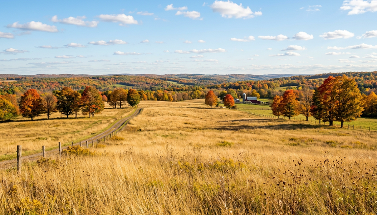
Sunday turns milder before a wetter night
Sunday brings another warm day, with a high near 72 degrees. That is the warmest daytime temperature in this stretch. Skies will be partly sunny, but the forecast includes a 40% chance of showers after 2 p.m.
The first part of Sunday may still work for outdoor plans. If you are hoping to get outside, the morning and early afternoon look more favorable than late afternoon and evening. Once showers start to develop, the pattern trends wetter.
Sunday night brings the highest rain chance in the forecast. Showers become likely, mainly after 8 p.m., with mostly cloudy skies and a low around 54 degrees. The chance of precipitation rises to 70%.
That timing matters for anyone traveling Sunday evening or returning from weekend plans. The rain may not be heavy, but showers after dark can make roads slick and reduce visibility. With leaves on the road in many Central New York communities, even light rain can create a slippery surface in spots.
Columbus Day stays unsettled. The forecast calls for a chance of showers, mostly cloudy skies, and a high near 69 degrees. The chance of precipitation is 40%. This suggests the holiday may not be a washout, but it will not have the clear, sunny feel of Saturday.
Monday night remains mostly cloudy, with a low around 48 degrees. By Tuesday, another chance of showers returns, with partly sunny skies and a high near 64 degrees. The chance of precipitation is 50%.
The pattern from Sunday night into Tuesday has a different feel from the late Wednesday night and Thursday showers. The first round is quick and light. The early-week stretch after the weekend looks more unsettled, with recurring shower chances and more cloud cover.
What this forecast means for everyday plans
This is a mild forecast overall, but it has enough changes to reward a little planning. The best approach is to match outdoor plans to the drier windows and keep rain gear close during the transition periods.
For commuting, Thursday morning and midday may bring wet roads. Sunday night may also be damp for travel. No major storm details stand out in this forecast, but showers at night and during busy travel times can still slow things down.
For outdoor work, Saturday is the best choice. Friday is also useful, though cooler and breezier. Thursday is more limited because of showers and gusty west wind. Sunday can work early, but the risk increases later in the day.
For local events, Saturday has the most reliable feel. If a plan falls on Sunday, earlier is better. If it is scheduled for Sunday night, expect a higher chance of showers.
For clothing, layers will help. Afternoon temperatures range from the lower 60s to lower 70s, while nighttime lows dip as low as around 40 Friday night. A light jacket may feel right in the morning and evening, even on days that turn mild later.
For gardens and yards, rainfall from the first shower round looks light. New precipitation amounts tonight and Thursday are expected to stay under a tenth of an inch. That is enough to dampen surfaces, but not enough to count on for deep watering. The Sunday night system has a higher chance of showers, but the forecast details here do not give a rainfall amount.
Here is the simplest way to read the week:
Today is mild, then clouds increase.
Showers arrive late tonight and continue at times Thursday.
Friday turns cooler, breezy, and mostly sunny.
Saturday is the clear winner for outdoor plans.
Sunday is mild, but showers become possible after 2 p.m.
Sunday night into Columbus Day looks unsettled.
Tuesday keeps a chance of showers in the picture.

The bottom line for Central New York
Plan for a mild week with two main shower windows. The first comes late tonight into Thursday, with light rain amounts and a gradual return to sun. The second arrives later Sunday and continues into the start of next week, with the highest rain chance Sunday night.
The best stretch is Friday into Saturday, especially Saturday, when mostly sunny skies and a high near 70 make it the top pick for outdoor plans. Keep an umbrella nearby for Thursday and again late Sunday, but do not overlook the dry, bright breaks in between.


Comments