Frosty Mornings Give Way to a Sunny Warmup and Weekend Outlook

The next few days bring a classic Central New York pattern: cold, frosty starts, bright afternoons, one brief shower chance, and then a fairly pleasant stretch into the weekend.
For Madison County and nearby parts of Central New York, the main thing to watch early is frost. The coldest periods come around daybreak today and again early Wednesday, with another round possible late tonight into early morning. After that, temperatures climb in a hurry. By Wednesday afternoon, highs should reach the upper 60s, and the weekend looks mostly dry with a mild finish by Sunday and Columbus Day.
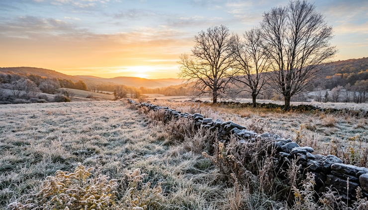
Frost starts the day before sunshine takes over
Today begins on the chilly side, with areas of frost before 8 a.m. That timing matters for anyone heading out early, especially in rural valleys, open fields, and colder low-lying spots where frost tends to settle first.
Once the sun gets higher, the day turns much more comfortable. Skies should stay sunny, and temperatures are expected to reach a high near 56 degrees. That is cool for the afternoon, but with sunshine and light wind, it should feel pleasant enough for yardwork, errands, or a walk during the middle of the day.
Wind starts light from the west, then becomes northwest at about 5 to 9 mph in the morning. That breeze will not be especially strong, but it can keep the air feeling crisp, especially in shaded areas.
A few practical notes for the morning:
Give windshields a little extra time
Frost can form even when pavement stays mainly clear. Scraping may be needed before the early commute.
Protect tender plants
If late-season flowers, herbs, or garden vegetables are still outside, frost in colder spots could be enough to damage them.
Expect a sharp temperature swing
A jacket may feel necessary early, but the afternoon will be much brighter and milder.
The weather stays quiet tonight, with mostly clear skies and a low around 36 degrees. Winds should be light and variable. That combination, clear sky, light wind, and dry air, favors another chilly night. Patchy frost is possible after 5 a.m., especially away from larger villages and lakeshore-influenced areas.
Wednesday brings the strongest midweek warmup
Wednesday starts with patchy frost before 8 a.m., but the chill will not last long. Sunshine returns, and a southwest wind helps bring in milder air through the day.
The high should climb to around 68 degrees, a noticeable jump from today’s high near 56. That roughly 12-degree rise will make Wednesday feel like a different season by afternoon. Morning layers will still help, but lighter clothing may feel better later in the day.
The wind will come from the southwest at 6 to 9 mph, enough to stir the air but not enough to cause much trouble. For farms, outdoor workers, school activities, and late-season sports, Wednesday looks like one of the better days of the week.

The one change arrives Wednesday night. Clouds increase, and there is a 30 percent chance of showers, mainly after 2 a.m. The chance is not high, but it is enough to plan for damp roads in spots by early Thursday. The night will be much milder than the previous two, with a low around 52 degrees.
That warmer overnight low is a clue that the air mass is changing. Instead of clear, calm, frosty weather, Wednesday night brings more cloud cover, a southwest breeze, and better moisture in the air. Frost is not expected Wednesday night under those conditions.
A brief shower chance moves through Thursday
Thursday brings the only notable rain chance in this stretch. A chance of showers continues before 2 p.m., with the probability still around 30 percent. That means many places may see little or no rain, while others could pick up a passing shower.
The day should not be a washout. The forecast calls for mostly sunny conditions with a high near 66 degrees once the early shower chance moves through. West winds will run about 5 to 11 mph, with gusts as high as 21 mph.
Those gusts are not damaging winds, but they may be noticeable. Loose trash bins, lightweight porch items, and dry leaves could move around a bit. Open fields and hilltops will feel the breeze more than sheltered neighborhoods.
For Thursday plans, the best approach is simple:
Time period | What to expect | Best planning tip |
Early Thursday | Chance of showers | Keep a light rain jacket handy |
Midday | Clouds breaking at times | Roads may stay damp in spots |
Afternoon | Mostly sunny and mild | Good window for outdoor tasks |
Evening | Turning partly cloudy | Cooler air returns after sunset |
Thursday night turns partly cloudy, with a low around 43 degrees. That is cooler than Wednesday night but not as cold as the frosty early-week mornings. Frost is not highlighted in the forecast for Thursday night, though sheltered colder spots can always run a few degrees cooler than nearby reporting stations.
Friday and Saturday look dry, bright, and seasonable
After Thursday’s weak shower chance, the pattern settles down again. Friday looks mostly sunny, with a high near 62 degrees. Friday night turns partly cloudy, with a low around 40 degrees.
This is a more seasonable feel for Central New York. It will be cool in the morning and evening, pleasant in the afternoon, and dry enough for most outdoor plans. Leaf cleanup, fall sports, short hikes, and local errands should all fit well into Friday’s weather.
Saturday keeps the quiet pattern going. Expect mostly sunny skies and a high near 65 degrees. Saturday night will be partly cloudy, with a low around 44 degrees.

For weekend chores, Saturday may be one of the most useful days in the forecast. The combination of sunshine, a light autumn feel, and no rain chance listed makes it a good candidate for:
Mowing or final trimming where grass is still growing
Cleaning gutters before colder weather becomes more common
Covering or moving patio furniture
Visiting farms, orchards, parks, or local fall events
Taking care of outdoor projects that need dry daylight
The mornings will still be cool, so early plans should include a jacket. By afternoon, the mid-60s should feel comfortable in the sun.
Sunday turns warmer before a partly sunny Columbus Day
Sunday looks like the warmest day in the extended outlook. The forecast calls for mostly sunny skies and a high near 72 degrees. For mid-October in Central New York, that is a mild and welcome finish to the weekend.
Sunday night becomes mostly cloudy, with a low around 52 degrees. That cloud cover should hold temperatures up overnight, much like Wednesday night. It will feel more like a late-summer evening than a frosty fall night in many spots.
Columbus Day is expected to be partly sunny, with a high near 70 degrees. That keeps the mild pattern going into the start of the next week, even with more clouds than Sunday.
For anyone planning a long weekend, the broad message is favorable. There is no strong storm signal in this forecast period, and the best shower chance remains focused around late Wednesday night into Thursday. Friday through Columbus Day looks mostly dry, with temperatures trending warmer again by Sunday.

The main weather takeaways for Central New York
This forecast has a little bit of everything, but no major storm system. The biggest impacts come from frost early and a small shower chance midweek.
Here is the short version:
Today
Frost before 8 a.m., then sunny and cool with a high near 56.
Tonight
Mostly clear and cold, with patchy frost after 5 a.m. and a low around 36.
Wednesday
Patchy frost early, then mostly sunny and much warmer with a high near 68.
Wednesday night into Thursday
A 30 percent chance of showers, mainly late Wednesday night and before 2 p.m. Thursday.
Friday and Saturday
Mostly sunny, dry, and seasonable, with highs in the lower to mid-60s.
Sunday and Columbus Day
Milder, with highs near 72 Sunday and near 70 Monday.
The biggest day-to-day change comes between the frosty mornings and the warmer afternoons. That can make dressing tricky. Layers will help through the week, especially for early commutes, school drop-offs, farm work, and outdoor plans that start before the sun has had time to warm things up.
The Frosty Mornings Give Way to a Sunny Warmup and Weekend Outlook pattern is good news overall. The cold starts need some care, especially for plants and windshields, but the afternoons become brighter and more comfortable. After the brief Thursday shower chance, Central New York gets a solid run of dry fall weather, topped off by a mild Sunday and a partly sunny Columbus Day.



Comments